Kaarten van Broxbourne (plaats)
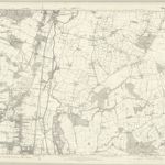
 1873|Ordnance Survey1:10 560
 1870|Ordnance Survey1:10 560
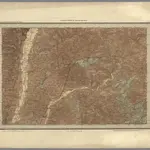 1868|Great Britain, Ordnance Survey Office1:63 360
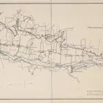 1834|Telford, Thomas
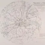 1838|Wyld, James
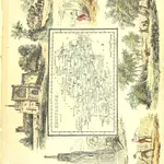 1845|RAMBLE, Reuben pseud. [i.e. Samuel Clark.]
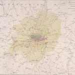 1830|Basire, James
Oude kaarten van Broxbourne (plaats)
Ontdek het verleden van Broxbourne (plaats) op historische kaarten
Oude kaarten van Broxbourne (plaats)
Ontdek het verleden van Broxbourne (plaats) op historische kaarten
Op zoek naar een Google Maps API-alternatief?